Bells Beach to Cape Otway
Bells Beach
Bells Beach is certainly in the lexicon of must visit locations, and was great place to start my journey down the coast. I set down in the north car park. There is only one spot that you could say is designated for large vehicles, however I straddled many angled car parking spaces hugging the heath line. It was cold and blowy for the first 24 hours and the carpark was pretty much empty the whole time. Even in these conditions I was woken early by cars of worshippers heading for the point break in the half light. I could have left anytime that day, but the promise of a perfect sunrise pushed my luck through a second night.

As a beach, Bells is just average. The people it attracts, and their relationship with the ocean, makes it special. Surfing Bell’s Beach has its own unique cache. Men, boys, women and girls all passed my door on their way to the beach, some running across the rock platforms with bad cases of FOMO (fear of missing out). The photographs justified the extra night. No one questioned my presence. They were all just casual visitors. A handy toiled block took care of the necessaries.

I had no idea where I would land next.
Point Roadknight
I didn’t have to go far. Just a couple of clicks south of Anglesea, there’s a very discreet sign advising a boat ramp and beach, no mention of the name. I only turned down Eighth Avenue, because I figured boat ramp equals car park equals turning circle. Well, no wonder the locals want to keep this gem below the tourist radar! Point Roadknight is a shallow, protected bay with a long white sand beach, coloured cliffs and a finger of ancient limestone pointing out to sea.
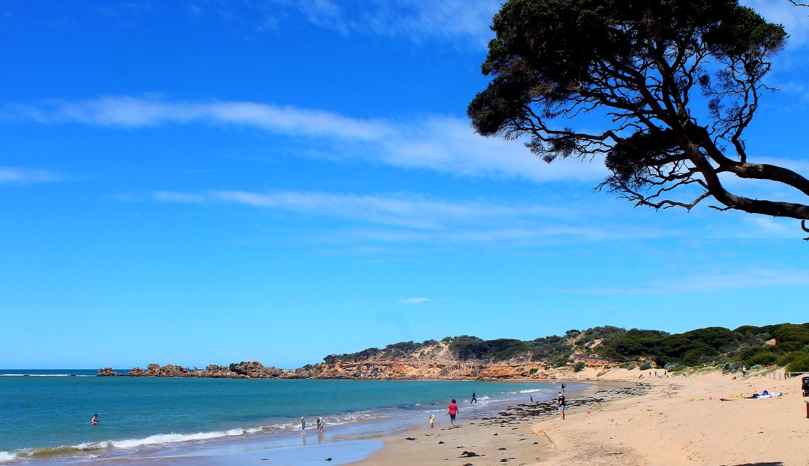
I parked as discreetly as I could at the far end of the carpark at lunchtime and made the most of the warm spring day. Everyone I met was a local or aspiring local. Unlike Bells Beach, residential housing was literally across the street so I was not going to arouse their indignation by staying more than one night. My plans to leave the next morning were however upended by a major hitching disaster (yes fellow travelers, threads on bolts DO wear down over time). Five hours later and a trip back to Geelong for the $11 replacement part and it was nearly four in the afternoon before calm and order was restored….just in time for the local constabulary to show up for a ‘welfare’ check. They had called around earlier and had seen the construction site where the jockey wheel was supposed to be. Long story, short I was advised to move on before dark .

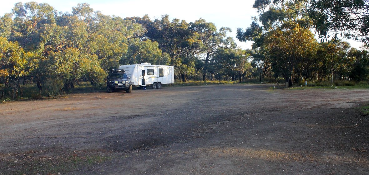
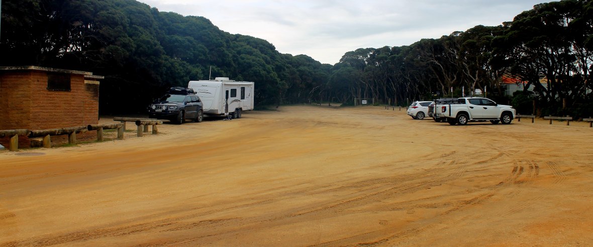
Luckily a bit a local knowledge meant I didn’t have to go far. I found Harvey Street on Google Maps and followed it till it became gravel. About three hundred metres on the right were two small radio towers behind a sign that read Anglesea High Level Tank. Took the dirt track on the right immediately after the sign. The first fifty metres are as rough as bags, but after that, easy as. Quiet, with a bushland setting, and I could still hear the ocean. No facilities of course, but no irate locals either.
For-Lorn(e)
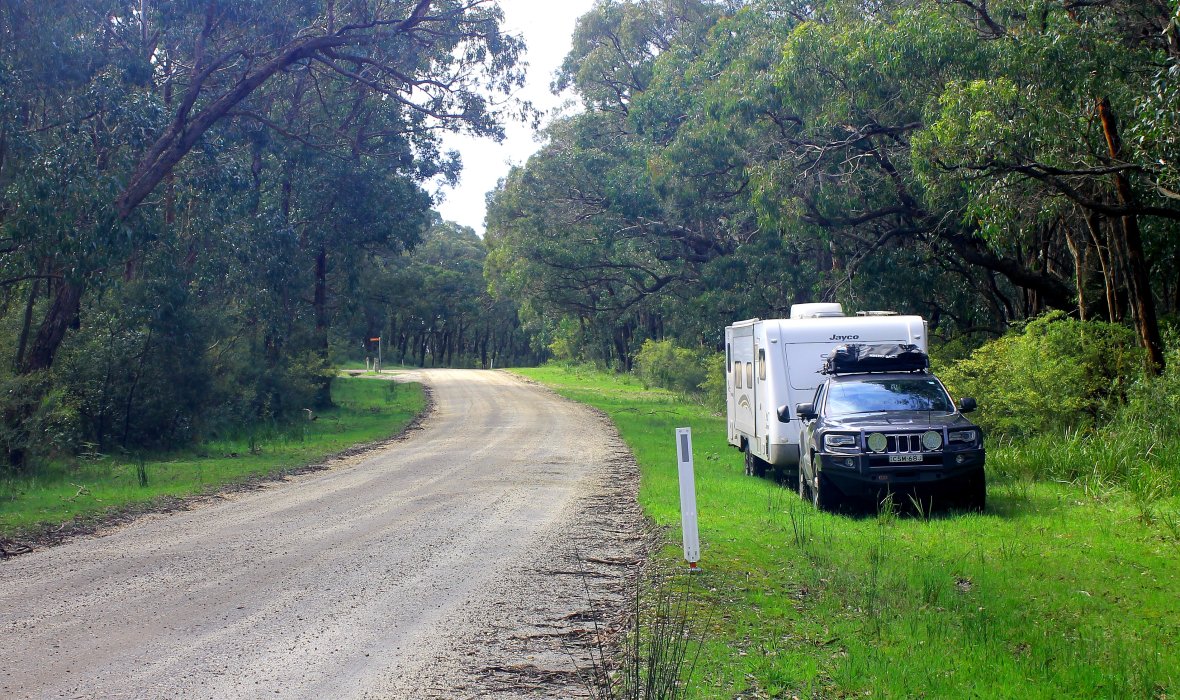
The next morning, I could have simply continued along the Great Ocean Rd. However being both great and on the ocean, I thought I’d mix it up a bit and take the road less traveled to Lorne. Continuing on the Aireys Inlet-Anglesea Rd, I turned left onto No2 Rd and headed south-west (ish). There is another sleep-over site at the intersection of No2 Rd and Batson Track. The No2 Rd became the Bambra-Aireys Inlet Rd and would eventually drop me out on the black top Winchelsea-Deans Marsh Rd and down to Lorne. The dirt roads are very good quality gravel. No driver should feel deterred from taking this side trip. The Bambra-Aireys Inlet road passes through the Otway State Forest and there was plenty of opportunity to drive onto the wide verges for a break or overnight stay. My pick was just past the Hammond Rd turnoff, with the campground and facilities just 50 metres in.
By the time I reached Deans Marsh, the caffeine pangs were starting. There is a lovely general store and just past that on the right, a drive through spot to park the rig and wander back for that coffee hit. Don’t wait till you get to Lorne, if you are hungry-thirsty. Lorne would have to be the most RV un-friendly town in Australia. They could do no worse by simply putting up signs on the outskirts of town, with a picture of a van and Fuck Off written underneath. The only place you can actually stop is on the apron at the one and only service station. No parking, no signage, no interest. Even the famous wharf can only be glimpsed on the way out of town. The car park is below road level and no indication that you can drive through to an exit.
In spite of all this RV darkness, there was a sliver of light. Three kilometres north of town on the ocean side was a very generous parking bay. Plenty of room to park the biggest rig. I spent a couple of hours on my own ‘private’ beach with views down to Lorne. If you’re fit and keen, you could walk to town or maybe unhitch and drive in. Sure, it’s a very interesting town with lots of cafes and restaurants. But for RVer’s, it’s unfortunately a mere frustration on the drive through to somewhere so much better.
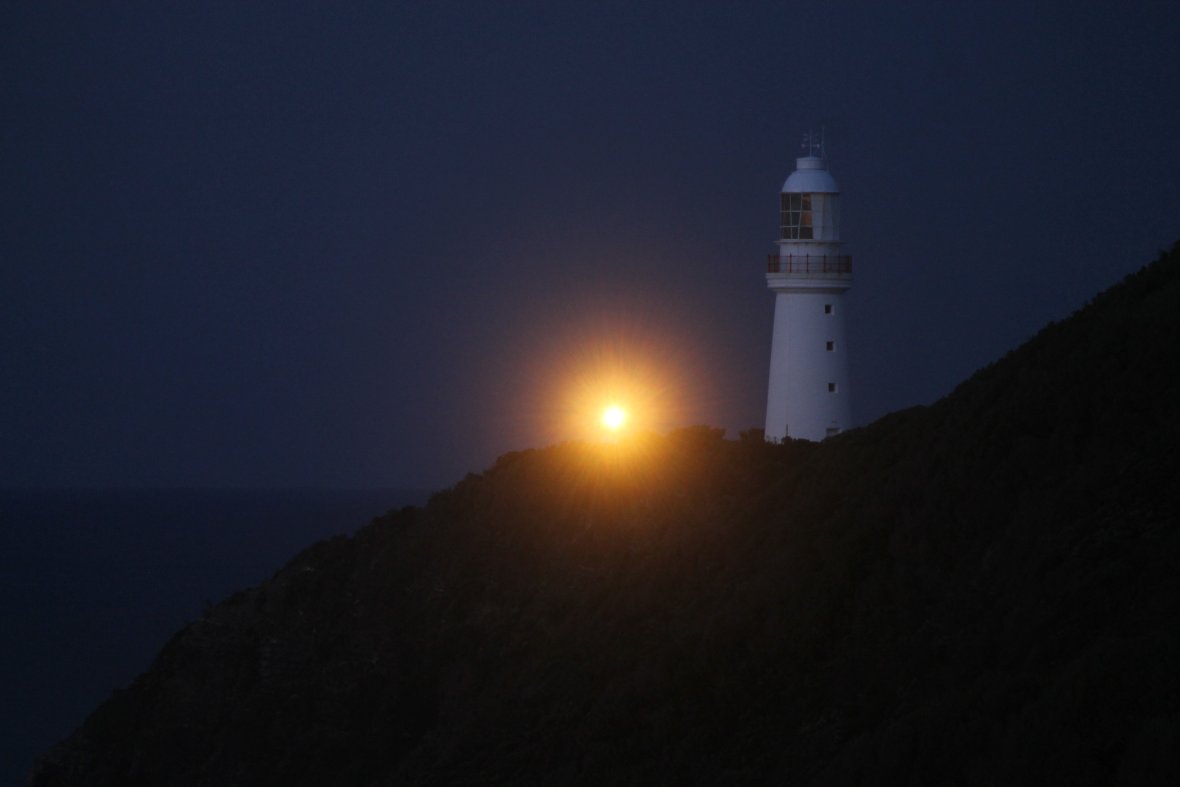
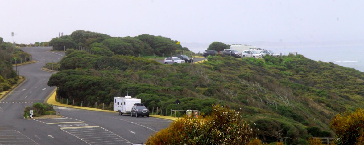
Cape Otway Lightstation
There are many places along the Great Ocean Rd to stop and briefly enjoy the view. A couple of lay-over spots just north and south of the Kennett River (ocean side) would give you easy access to the beach and shop. I stocked up the pantry, fridge and fuel when I got to Apollo Bay, as Port Campbell is the next town of any size and there’s plenty of places coming up to spend a few days. By now it was mid-afternoon and still not sure where I’d be spending the night. I spotted a suitable sleep-over just off The Great Ocean Rd on Lighthouse Rd and decided that would do nicely after a visit to the Cape Otway Lightstation. The historic Cape Otway Lighthouse is a tourist attraction in its own right (see the website for tours and accommodation- https://www.lightstation.com/). A quick look on arrival convinced me that spending the night here was a much better idea. There are designated car and van parking spaces with free access to toilets and water. Although the main attraction is behind closed gates, there are after hours walking trails with spectacular views into Bass Strait. The last of the visitors left around 6pm and I had the place to myself till 9am the following morning. Another “freebie”.